Estes Park Parking Pilot Signage & Wayfinding Plan
Project Overview
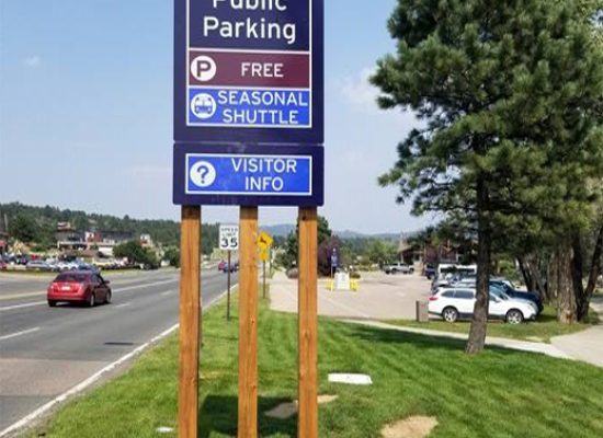
The Town of Estes Park has instituted new paid parking lots and parking ordinances in response to congestion and loss of revenue during summer tourist months. To ensure residents and out-of-town visitors can safety and effectively find parking and access to downtown shops and attractions, E. Holdings, Inc. was contracted to create temporary signage for all parking wayfinding and lot locations, as well as, a permanent signage design and implementation plan report.
Core Services Performed:
- Signage Design
- Wayfinding Planning
- GIS Mapping
- Condition Assessment, Documentation, & Mapping
- Construction & Implementation Plan
Client: Town of Estes Park, Colorado
Timeline: January 2020 – January 2021
Wayfinding & Signage Design
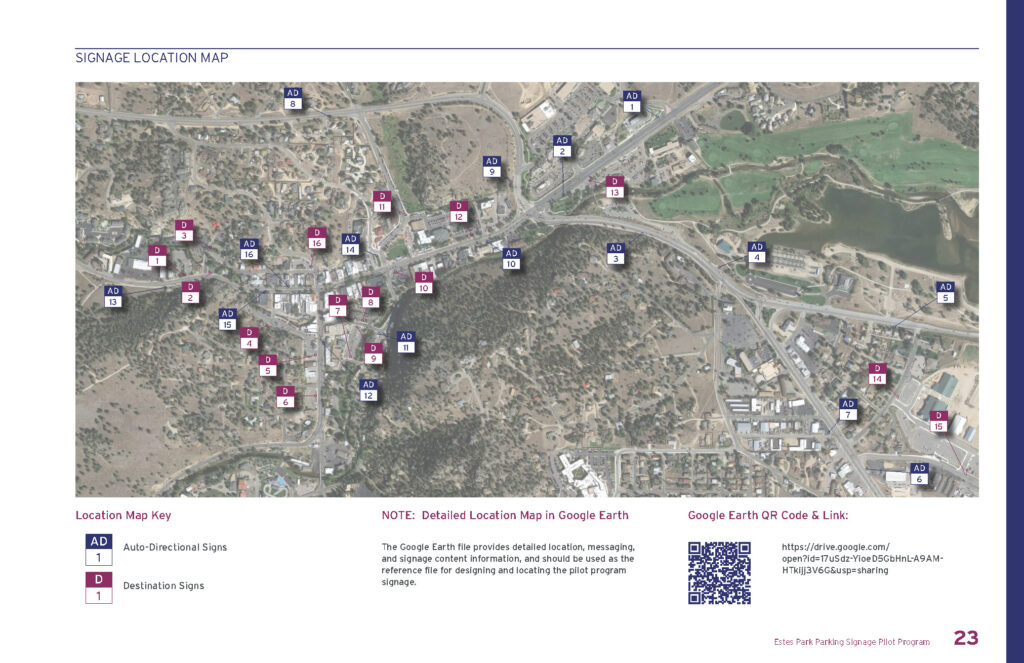
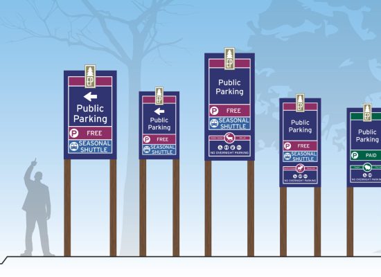
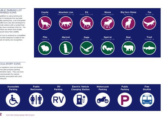
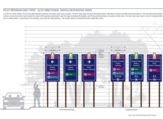
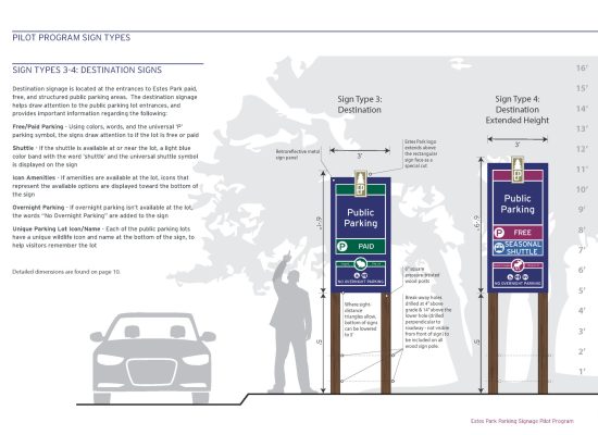
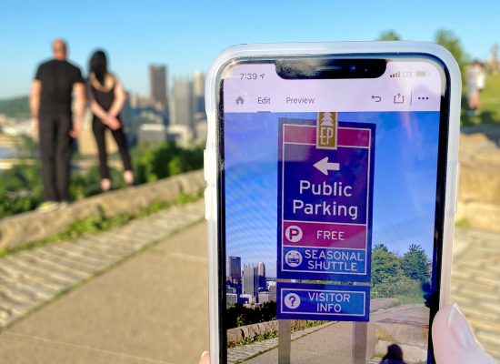
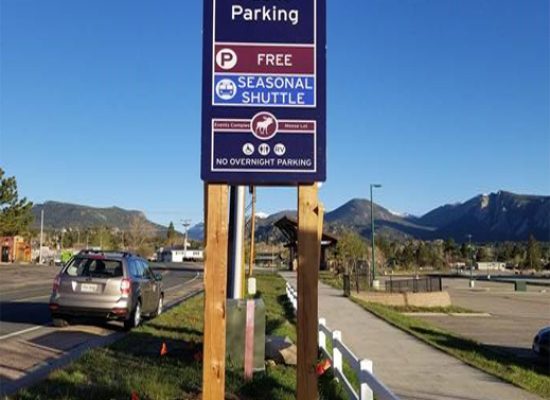
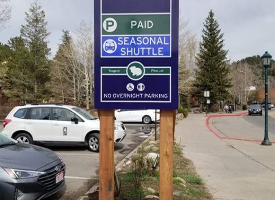
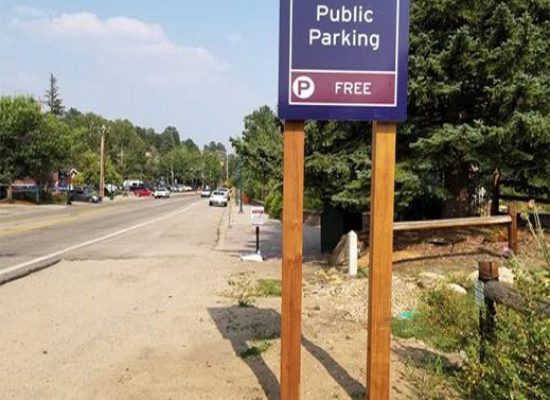
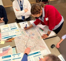
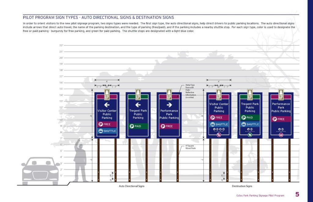
Our design team worked with Town officials and engineers to review and adapt town brand guidelines and create a signage and wayfinding system that is functional and fits in with the Town’s unique character. Colors were chosen that fit with the branding but also adhered to DOT constrast regulations. A naming convention was also developed to adhere to the Town’s background as a national park tourist destination. Names and matching icons were chosen, such as Elk Lot, Moose Lots, and Bear Lot, for each parking lot to help out-of-town visitors better learn and remember available parking. Locations were carefully chosen to direct visitors to downtown and the subsequent closest parking that would allow them to fully experience all Town amenities. Once a design family was chosen, reviewed, and edited, a full set of design and construction documents was created. A fabricator was then chosen by the Town and installed with full adherence to all DOT standards and regulations.
A second phase will begin in December of 2021 to expand the design and wayfinding plan to include downtown pedestrian kiosks.
GIS & Mapping
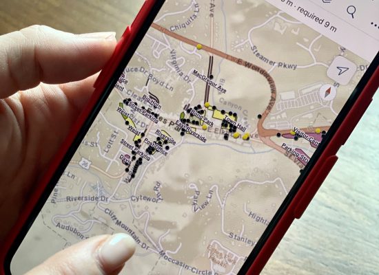
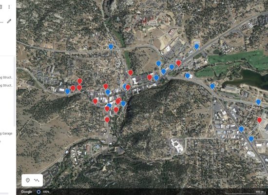
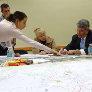
AS part of the current signage location and condition assessment a field study was conducted and a GIS database created. The signs were photographed and plotted in ArcGIS to aid with identifying gaps and potential locations. This mapping also aided in developing the message schedule. An editable google map was also created and shared with Town officials as part of final QA/QC of sign locations and messaging.
