Property Buyout Study
Property Buyout Study
Pittsburgh's steep hillsides and river valleys make it one of the most landslide- and flood-prone cities in the country. The question isn't whether these risks will affect residents — it's how the City prepares before they do.
EHI partnered with HR&A Advisors on the City of Pittsburgh’s FEMA Building Resilient Infrastructure and Communities (BRIC) Study — a proactive effort to help the City decide when and where to invest in infrastructure, reduce risk, or support the voluntary relocation of residents out of harm’s way.
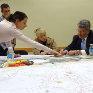
EHI’s work started with the data. Our team conducted an advanced GIS-based assessment of landslide and flood risk across the city, leveraging data from the City, FEMA, PADEP, USGS, and WPRDC to map where risk lies today and how it could change over time. We developed comprehensive geodatabases, maps, and spatial analyses to model current and future hazard conditions — then paired that risk mapping with demographic data to identify the populations most vulnerable to flooding and landslides. We also prepared a proposed update to the City’s Landslide Prone Overlay Zoning District, translating GIS findings directly into policy. All maps were built for public access, giving residents the same clear picture of risk that decision-makers have.
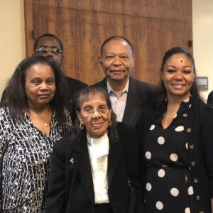
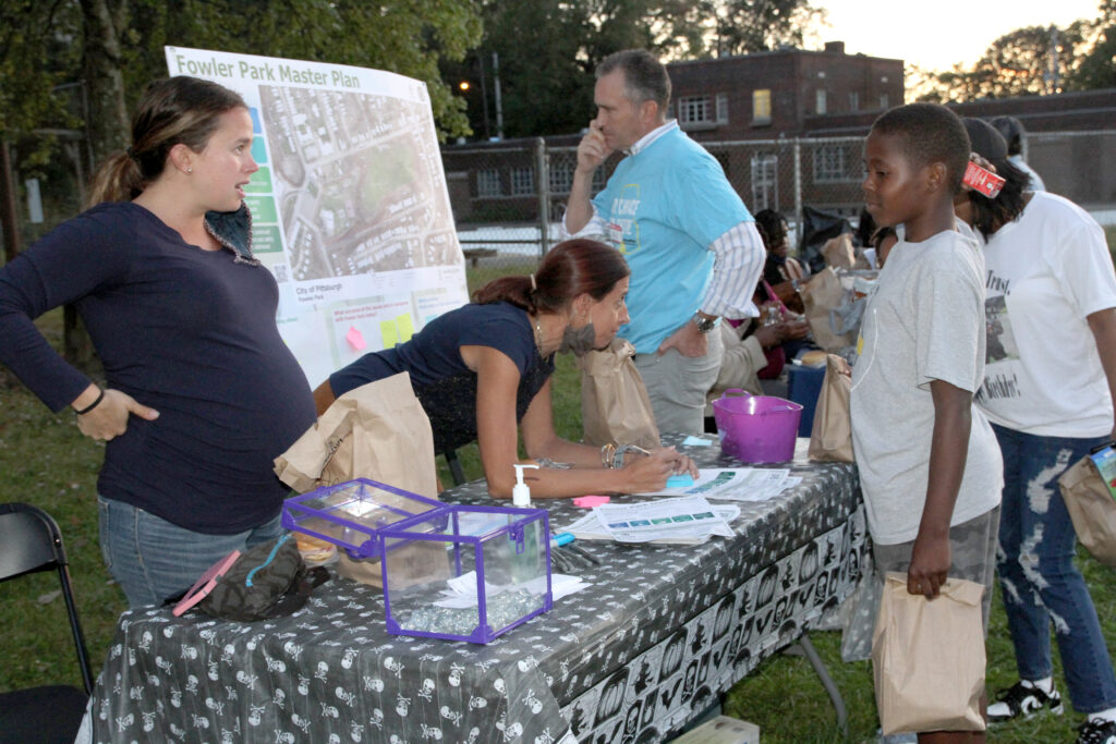
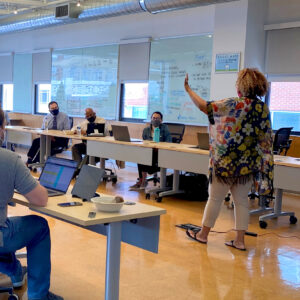
But data only matters if people trust the process built on it. EHI designed the program’s Community Engagement Protocol — guiding how the City communicates with residents, property owners, and tenants at every stage of a potential buyout. The protocol is built around six principles: transparency, voluntary participation, early and continuous engagement, resident-centered support, equity and accessibility, and coordinated communication across City departments. It ensures tenants receive direct outreach independent of their landlords — never filtered through a middleman at the moment it matters most.
Buyout programs succeed or fail on trust. By pairing rigorous risk analysis with an engagement approach that puts residents at the center, EHI helped the City of Pittsburgh build a program designed to protect people, not just property.
CLIENT:
Department of City Planning, City of Pittsburgh
LOCATION:
Pittsburgh, PA
SERVICES:
GeoAnalytics
• GIS Mapping & Spatial Analysis
• Risk Assessment
Community Engagement
• Engagement Protocol Development
• Stakeholder Engagement
Planning & Design
• Project Planning Support