East Hills & Lincoln-Lemington-Belmar Community Visioning Plans
Project Overview
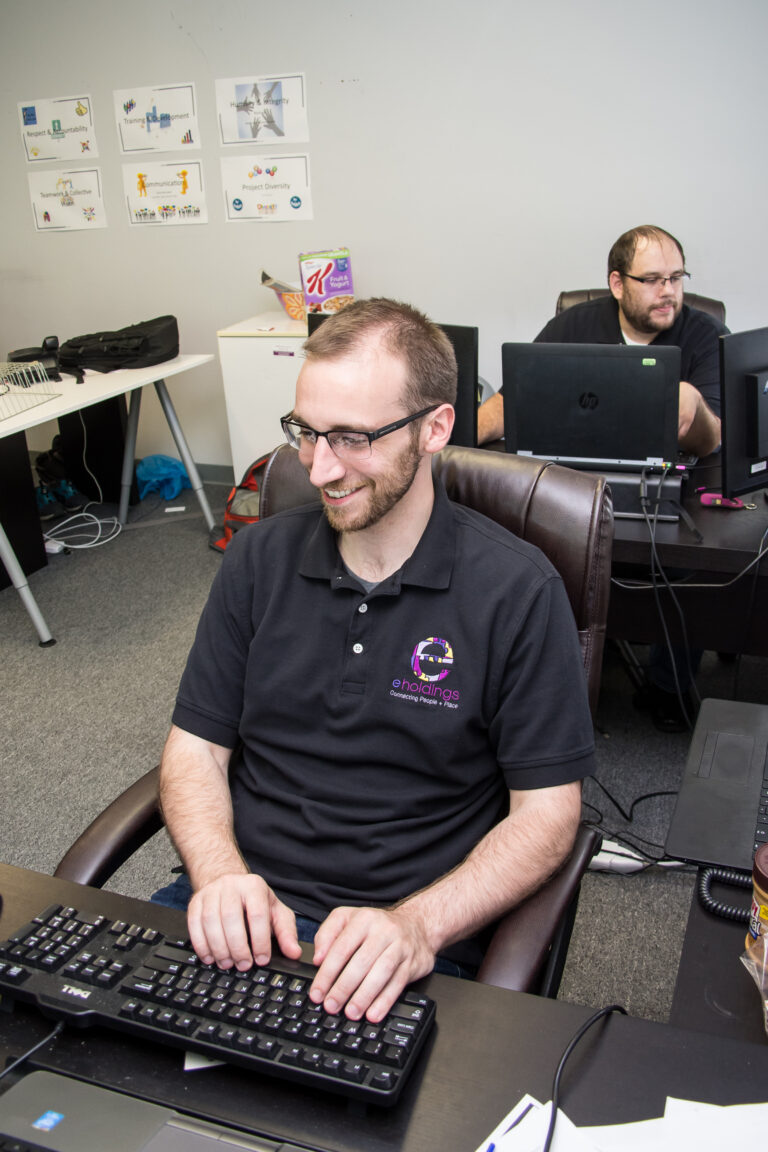
The communities of Lincoln-Lemington-Belmar and East Hills are in a pre-planning process for creating a community vision plan with the help of the E. Holdings team. Our goal in the project is to define a clear strategy to empower diverse and representative community leadership that can support the framework for future neighborhood plans.
Through the collaboration with E. Holdings, community stakeholders, and community members, the community vision for Lincoln-Lemington-Belmar and East Hills will be thoroughly developed and well aligned with the community’s needs.
Core Services Performed:
- Community Engagement
- Public Input Collection & Surveying
- Stakeholder Coordination
- Condition Assessment and Mapping
- Data Management
- Vision Planning
- Report Writing
Client: City of Pittsburgh, Pennsylvania
Timeline: November 2020 – November 2021
Community Engagement
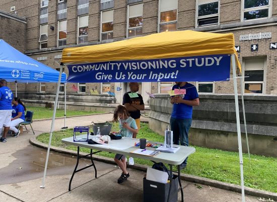
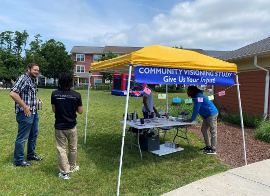
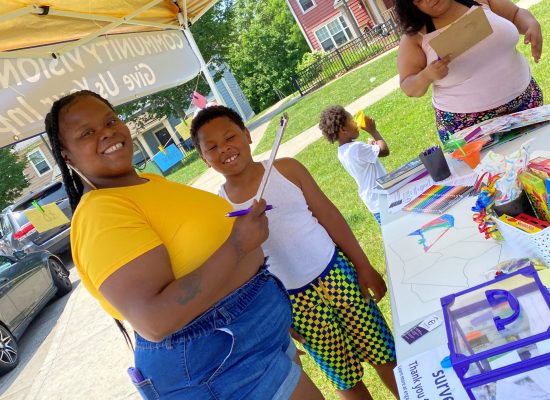
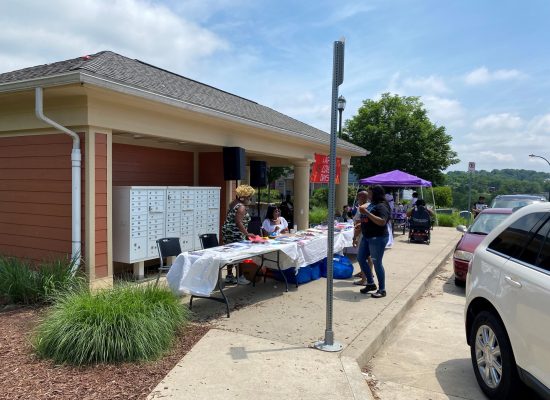
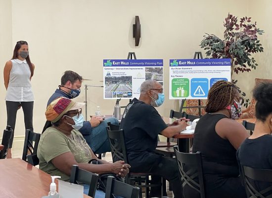
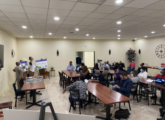
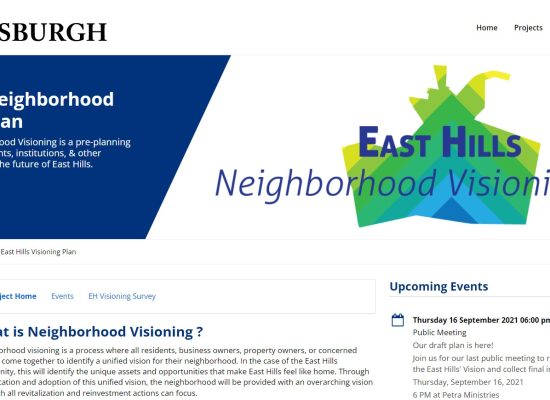
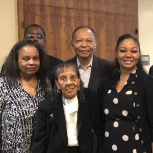
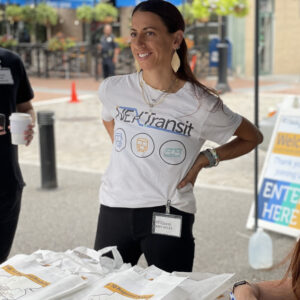
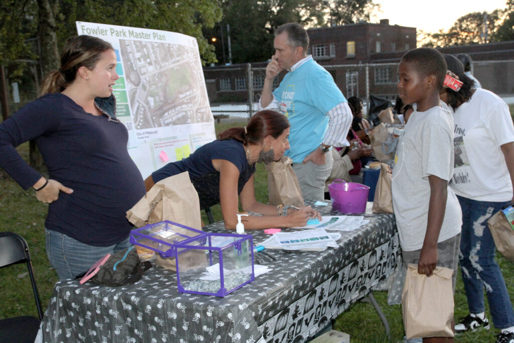
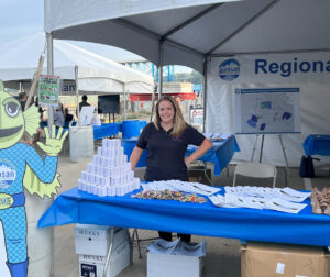
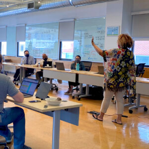
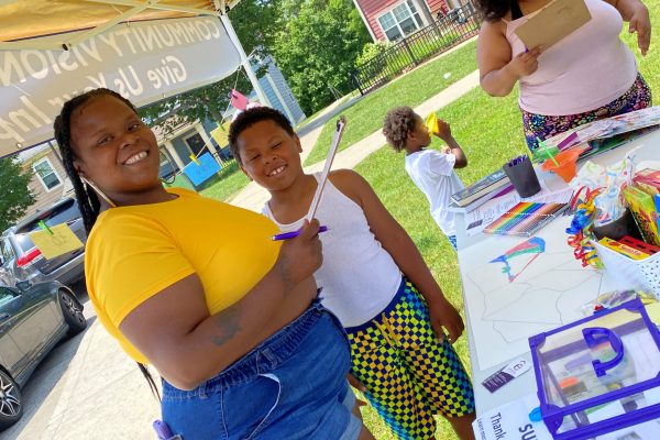
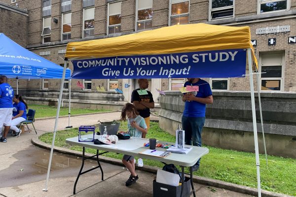
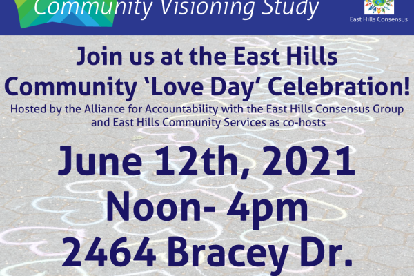
Both LLB and East Hills are predominately black neighborhoods that have struggled with disinvestment over the years. The priority of the visioning study to date has been to engage the community to establish a clear vision for their neighborhoods. Due to Covid-19, our Team has been forced to engage the community through a series of online public visioning meetings (six total – three in each community), which can be difficult in neighborhoods with a high concentration of elderly residents and/or households without access to internet. To address these issues, we have worked closely with the Community Consensus Groups to provide printed meeting flyers (distributed around the neighborhoods), phone numbers for people to call into the meetings, and did a mass EDDM mailer advertising the meeting schedule to all households.
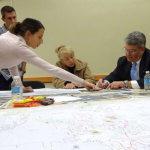
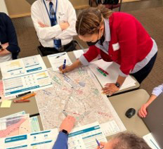
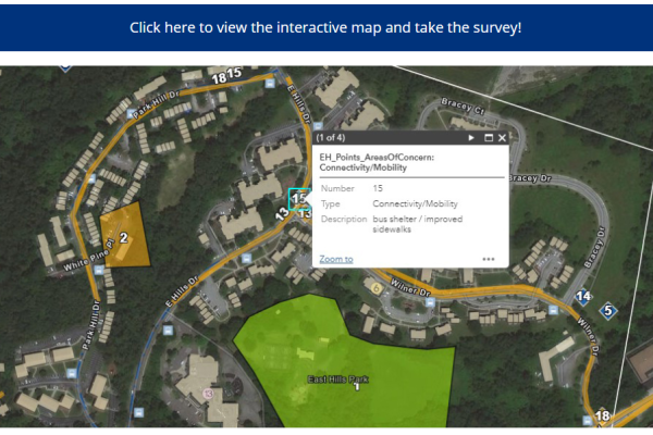
The first set of visioning meetings included a SWOT analysis, the second focused on mapping specific locations that the residents would like to see improvements, and the third round allowed our urban designers to sketch potential improvements in real-time with the meeting attendees. In addition, the online mapping exercise was developed into an online survey for people to participate who were unable to attend the meetings.
GIS & Mapping
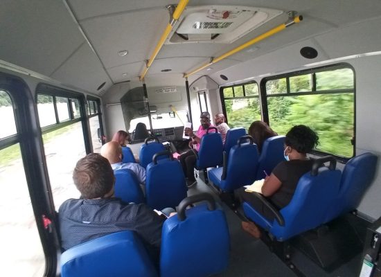
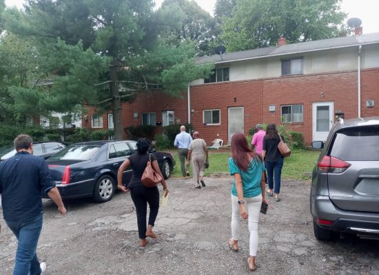
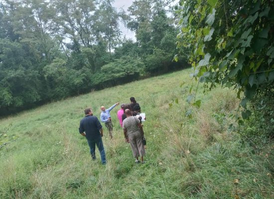
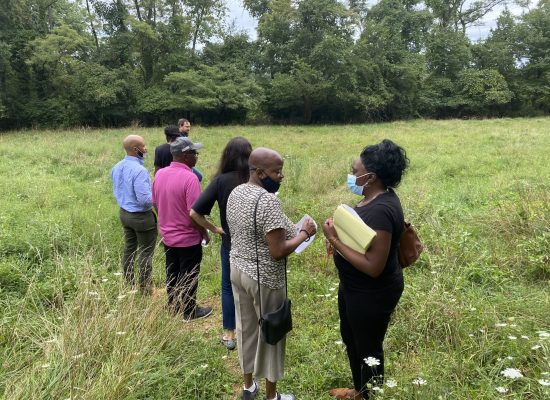
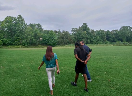
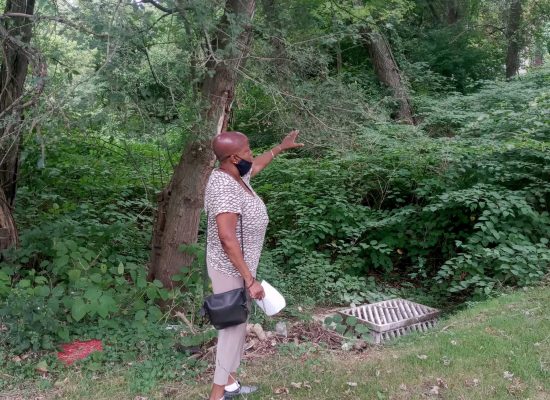
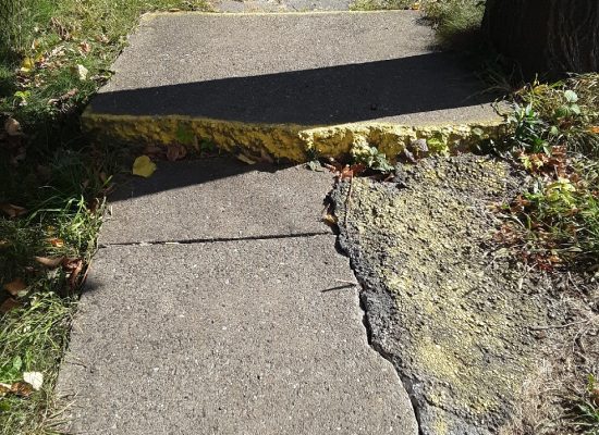
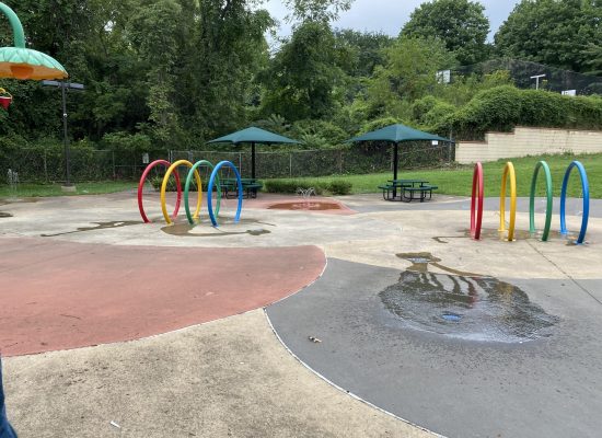
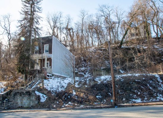
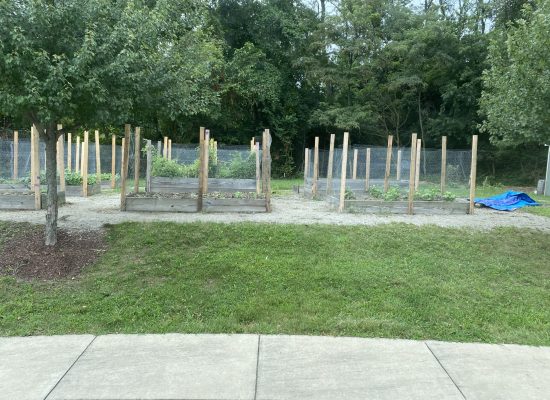
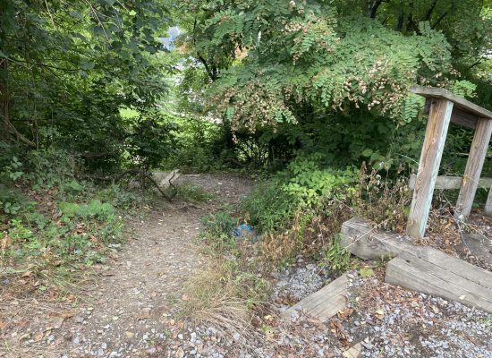
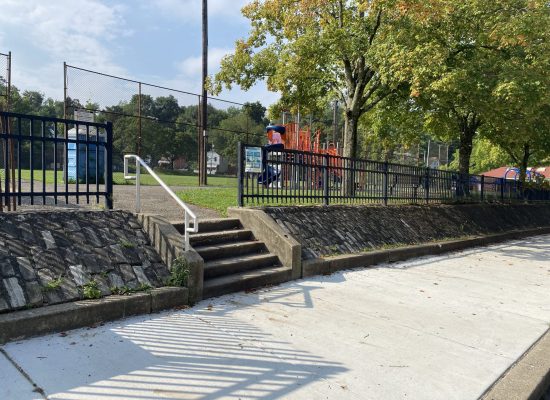
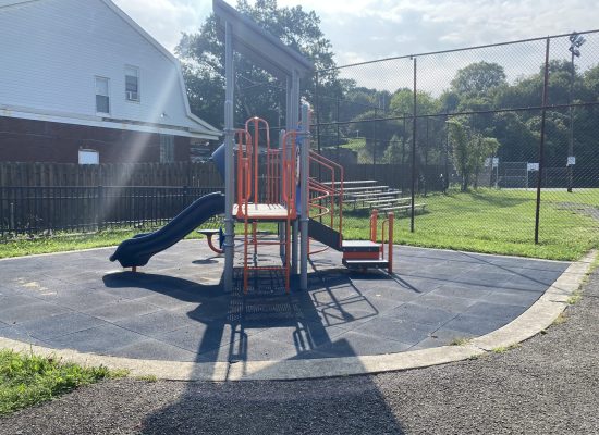
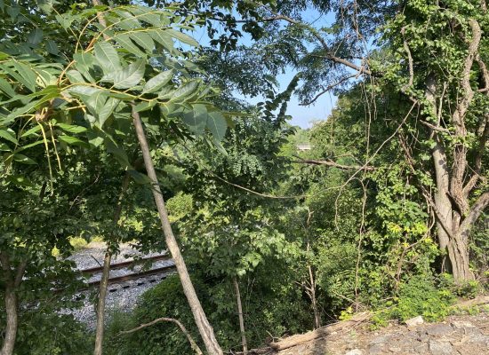
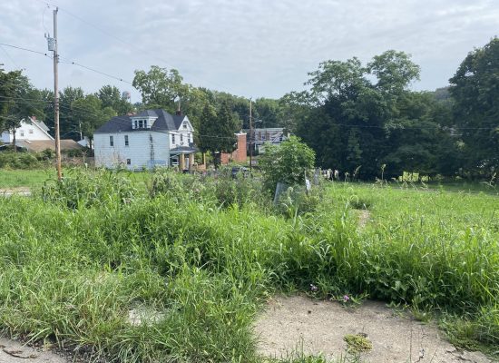
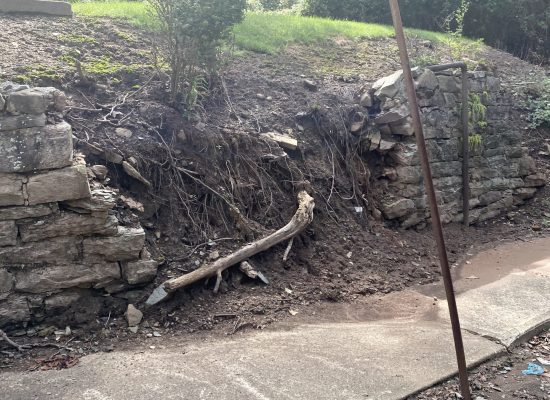
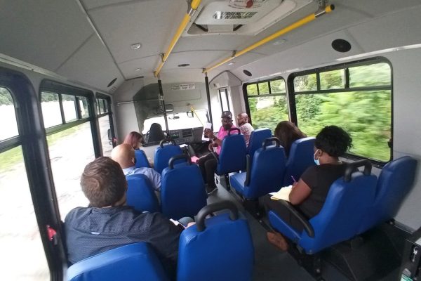
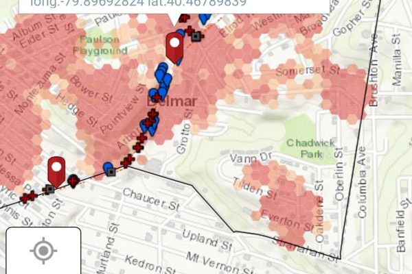
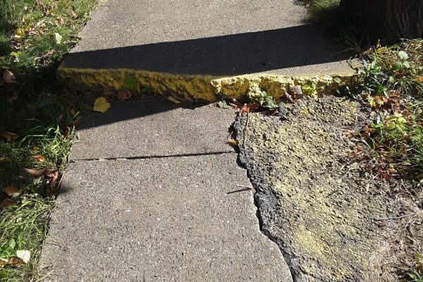
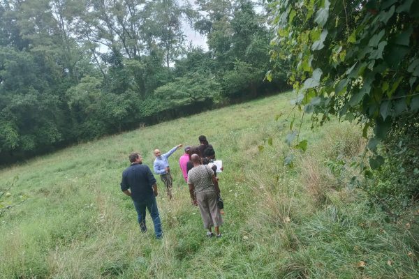
In order to have a better understanding of the communities, our team is documenting existing conditions and community goals, advising on potential strategies to achieve each goal, tackling technical aspects in the process, and developing participation strategies in the communities. Our GIS and public outreach teams are working together to document any existing conditions in these communities. They are achieving this through field visiting where they collect GIS data using the collector app. The collector app is a fast an easy tool to plot data points and attach pictures to areas of interest found in the communities. All data collected in the field is automatically updated to our dashboard set up to be viewed by the client. The dashboard is a great visual way to share what we are finding in the field and we can analyze trends that we see in the communities. In our first visit to the community, out team was able to survey 4 main roads the Port Authority buses run along and identify around 80 hazard locations along sidewalks, roads, and abandoned houses.
